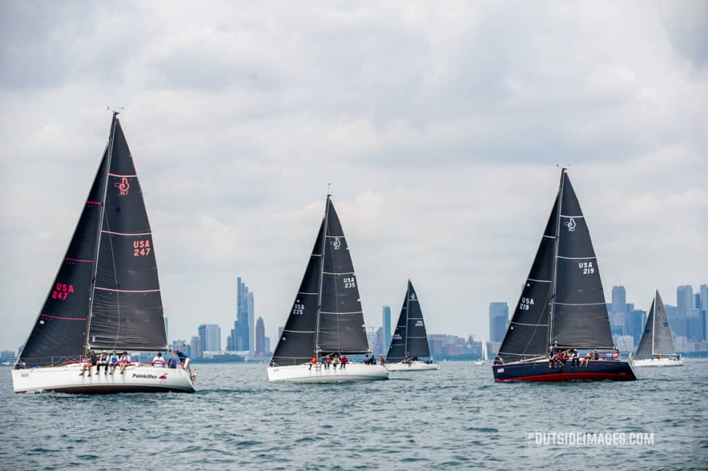
During the Helly Hansen Sailing World Regatta Series in Chicago, Quantum Sails will be providing free in-depth daily weather briefings with Sailflow’s meteo guru Chris Shea, via Zoom. Sign up here to register.
Combining my five years of experience on Lake Michigan with the wisdom of sailors who’ve been here far longer, we look at the typical—and atypical—conditions we’ll see the during the second weekend of June. For additional advice I’ve tapped Seth Morrell, a successful Chicago area racer, who offers his insight on local knowledge. So read on and get the inside on local knowledge Helly Hansen Sailing World Regatta Series stop in Chicago.
Typical Summer Sailing
Gradient winds, when not under the influence of a frontal passage, are commonly from the south to southeast. On sunny days and early in the season, it is normal for a thermal lake breeze to develop as Chicagoland heats up, usually after noon or occasionally a little earlier on warmer days. Small cumulus clouds forming over the city are the telltale signal of rising air onshore, so expect the thermal to come in perpendicular to the city from the east.
If the gradient is from the south or southeast, the city thermal will shift the mean breeze left and toward the east. You will experience puffs and left shifts from the east/left on the racecourse. This combination of gradient and thermal breeze is common on most summer days, but the gradient can be so weak the racecourse will be light and variable and dominated by the thermal. In both cases, however, the breeze will fill from offshore/east/left. In these conditions, wind direction will vary between about 85 degrees and 130 degrees depending on how the gradient and thermal get along.
Once the wind has settled, you will usually see 8- to 10-degree oscillations every 5 to 8 minutes on either side of the mean direction. The rule of thumb in these conditions is to favor the left side of the beat and the right side of the downwind legs while watching for the oscillations.
On days with a solid, strong south/southwest gradient, the thermal has less impact, but it will be there and it will have an influence. Be aware.
Less Typical Summer Sailing
If a north or northeast gradient breeze arrives, it’s usually associated with the beginning of a front. Expect lumpy conditions from the long fetch, and when it cooler, the wind will be steady but can still oscillate.
If it is warm enough for a thermal, the breeze will again shift to the east—a right shift in this case—so the rule of thumb is to favor the right side of the beats and the left side of the run. Generally, these are the safest moves in these conditions.
West or northwest breezes are seen after a frontal passage and blow offshore. By nature, they are puffy and shifty, which is made worse by the many tall buildings lining the shoreline. These conditions are least predictable, so getting in phase with shifts and puffs takes a lot of work and focus.
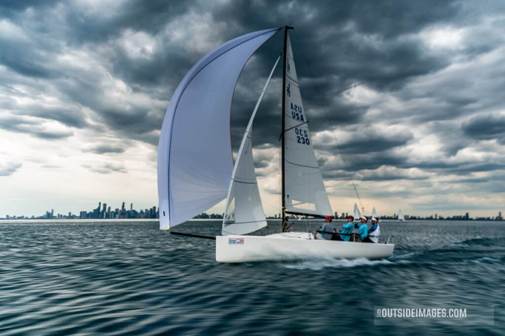
This is the least predictable condition we experience in regards to when and how strong the shifts and puffs are. Since this breeze comes from the shore, it is strongest but also shiftier close to shore. The rule of thumb is to go toward the shore for the best pressure; the majority of these shifts tend to be lefties.
While you’re in town, our local Quantum team is here to help with any need — from sail repairs to tactical discussions. Good luck, and welcome to Chicago!
